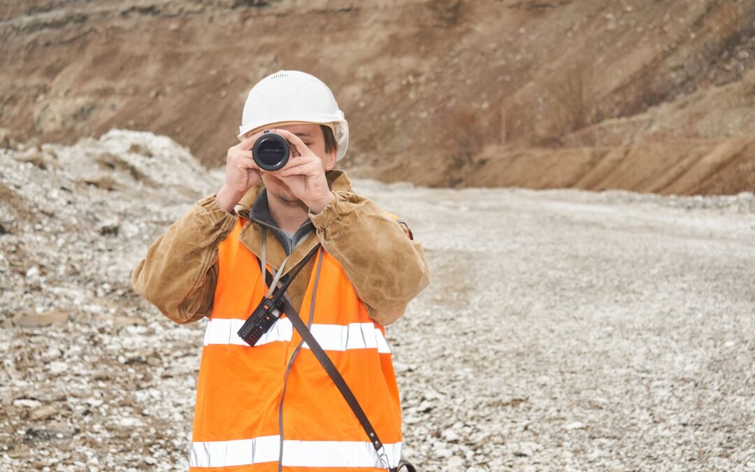
A geophysical survey is a non-invasive method of studying the subsurface properties of the Earth by measuring various physical properties, such as magnetic, seismic, and gravitational properties. These surveys are commonly conducted to gain insights into the geological features and composition of the Earth’s crust, particularly for mineral exploration and mining.
PURPOSES OF MINERAL EXPLORATION
In mineral exploration and mining, geophysical surveys have several uses:
1. IDENTIFICATION OF POTENTIAL DEPOSITS
Geophysical surveys can detect anomalies or variations in the subsurface that may indicate the presence of mineral deposits. For example, magnetic surveys can identify areas with elevated magnetism associated with certain minerals, while electrical resistivity surveys can detect variations in rock conductivity which can provide insights into potential mineralization.
2. TARGET SELECTION
Geophysical surveys help geologists and mineral exploration teams identify specific locations where mineral deposits are likely to be found. This aids in target selection, helping to focus efforts and resources on the more promising areas for further exploration.
3. MAPPING GEOLOGICAL STRUCTURES
Geophysical surveys can provide valuable information about subsurface geological structures such as faults, folds, and rock layers. Understanding these structures is critical for locating ore bodies and planning mining operations.
4. ESTIMATION OF DEPOSIT SIZE AND DEPTH
Geophysical data can be used to estimate the size and depth of mineral deposits, which is vital for determining the economic feasibility of potential mining operations.
5. MINIMIZING DRILLING COSTS
By narrowing down potential drilling sites, geophysical surveys can significantly reduce the cost and environmental impact of exploratory drilling.
6. ENVIRONMENTAL IMPACT ASSESSMENT
Geophysical surveys can also be used to assess the environmental impact of mining activities by evaluating factors like groundwater flow and potential contamination risks.
WHAT DO GEOPHYSICAL SURVEYS COST?
The cost of a geophysical survey can vary widely depending on factors, including the size and complexity of the survey area, the type of geophysical methods used, the depth of investigation required, and the specific objectives of the survey. Several factors can influence cost, including:
- Survey Scope. The size and scope of the survey area play a significant role in determining the cost. Larger areas or more extensive surveys will generally cost more.
- Geophysical Methods. The type of geophysical method used for the survey also has a great impact on cost. These costs are associated with the difference in equipment, personnel, data processing, and expertise required for the survey.
- Depth of Investigation. If the survey needs to investigate deeper subsurface layers, it may require more specialized equipment and expertise, which can increase the cost.
- Terrain and Accessibility. The accessibility and terrain of the survey area can affect costs. Remote or difficult-to-reach locations may require additional logistical support and can be more expensive.
- Project Timeline. The urgency of the project can also impact costs. Rushed or expedited surveys may come at a premium.
- Data Interpretation and Reporting. The cost of geophysical surveys is also impacted by the method and intensity of data interpretation and the preparation of detailed reports, which are essential for understanding the survey results.
- Regulatory and Permitting Costs. The cost of geophysical surveys may also be impacted by regulatory and permitting requirements that may be present based on location and survey type.
- Geographical Location. The cost of services and labor can vary significantly by region in the United States. Depending on how accessible/inaccessible the area is will determine the cost for transporting personnel and equipment to the area as well as navigating the area for the survey.
- Consultant/Service Provider. The choice of a geophysical survey provider or consultant can impact costs. Different companies may have varying pricing structures.
To get an accurate cost estimate for a geophysical survey, it is recommended to contact multiple geophysical survey companies or consultants, provide them with specific details about your project, and request a quote. They can assess the specific requirements of your project and provide you with a more precise cost estimate based on those factors.

ABOUT THE AUTHOR
BRIAN GOSS
President, Rangefront Mining Services
Brian Goss brings over 20 years of experience in gold and mineral exploration. He is the founder and President of Rangefront, a premier geological services and mining consulting company that caters to a large spectrum of clients in the mining and minerals exploration industries. Brian is also a director of Lithium Corp. (OTCQB: LTUM), an exploration stage company specializing in energy storage minerals and from 2014 to 2017, he fulfilled the role of President and Director of Graphite Corp. (OTCQB: GRPH), an exploration stage that specialized in the development of graphite properties. Prior to founding Rangefront, Brian worked as a staff geologist for Centerra Gold on the REN project, as well as various exploration and development projects in the Western United States and Michigan. Brian Goss holds a Bachelor of Science Degree with a major in Geology from Wayne State University in Michigan.
You may also be interested in...

Magnetic Surveys in Mineral Exploration: How They Work, What They Show, and Why They Matter
Magnetic surveys, commonly known as mag surveys, are one of the most valuable and widely used geophysical tools in mineral exploration. They provide rapid, cost-effective insight into subsurface geology by measuring variations in the Earth’s magnetic field. These...

The 2026 Mining Career Handbook: Roles, Salaries, and How to Build a Future in a Changing Industry
The mining industry has entered a defining decade. As the world transitions toward clean energy and critical mineral demand surges, career opportunities in mining are expanding across every level from field crew operators to geoscientists, engineers, and project...

Free GPR Feasibility Checklist: Is Your Site Suitable for Ground-Penetrating Radar Scanning?
Ground-Penetrating Radar (GPR) is a powerful, non-invasive subsurface imaging tool that plays a critical role in industries ranging from construction and environmental consulting to archaeology and mineral exploration. In mineral exploration and mining, GPR can help...

Mining in British Columbia: Opportunities and Challenges
British Columbia (BC) is one of the world’s most geologically rich and mining-friendly regions. Known for its vast mineral wealth and complex terrain, BC is home to some of Canada’s most productive mining operations. This article explores mining in British Columbia,...

Canada’s Critical Mineral Corridors: What’s Next for Lithium, Cobalt & Rare Earths?
As global industries shift toward decarbonization and clean energy, critical minerals have become the new currency of innovation. From electric vehicles (EVs) to wind turbines and advanced electronics, minerals like lithium, cobalt, and rare earth elements (REEs) are...

Environmental Considerations in Canadian Mining: Best Practices
Mining has long been an integral part of Canada’s economy, providing essential minerals and metals that fuel global industries—from construction and energy to technology and transportation. However, mining also presents environmental challenges, including habitat...

Soil Sampling Techniques Used in Mineral Exploration
Soil sampling plays a crucial role in modern mineral exploration. When properly executed, it provides vital geochemical data that helps geologists and exploration companies assess the mineral potential of a target area with greater precision. Various techniques are...

Indigenous Partnerships in Canadian Geophysics: Best Practices for Ethical Exploration
Across Canada, mineral exploration is moving toward greater transparency, accountability, and reconciliation with Indigenous Peoples. As outlined in the Mining Association of Canada’s Towards Sustainable Mining (TSM) protocols, ethical exploration now requires early,...

The Role of Geochemical Soil Sampling in Discovering Ore Deposits
In the evolving landscape of mineral exploration, geochemical soil sampling continues to become increasingly important. As the global demand for critical minerals surges, mining companies and geological services providers are turning to advanced geochemical techniques...

The Future of Mineral Exploration in Canada’s Northern Territories
Canada’s Northern Territories, Yukon, Northwest Territories, and Nunavut, are becoming an important focus point in mineral exploration. These regions contain significant deposits of critical and strategic minerals that are in growing demand globally due to their role...

Highest Paying Jobs in the Mining Industry (2025 Update)
The mining industry in the United States is a vital sector of the economy, supporting infrastructure, technology, clean energy, and more. It encompasses a wide range of activities, from the extraction of coal and base metals to high-demand minerals like lithium,...

How to Stake a Mining Claim in 2025: A Step-by-Step Guide
The process of staking a mining claim dates back to 1849 during the California Gold Rush, when miners adopted their own rules to establish rights to mine land in the absence of formal regulations. The legal foundation was based on the principle of prior...