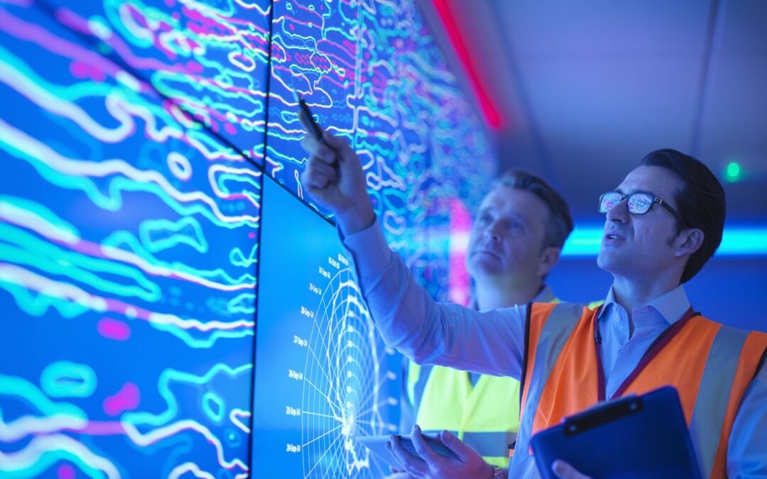
Geology and the mining industry are naturally associated because of the expertise required to find and analyze potential deposits in bedrock. Because of that, many seeking a degree in geology will have their sights set on career opportunities in the mining industry, which tends to be higher paying than the educational or research industries.
COMMON GEOLOGY JOBS IN THE MINING INDUSTRY
Below are some of the common geology jobs in the mining industry, their median salaries, and job outlooks. To explore geology job openings, please explore our job listings board here.
MINE SITE GEOLOGIST
Mine site geologists are valuable assets to the mining industry, managing everything from exploration and mine design to evaluating ore quality, risk and environmental impact management, and more.
Mine geologists make, on average, $83,010, according to the Bureau of Labor Statistics, with the top 10% making over $123,260. For most positions, at least a bachelor’s degree is required for entry-level positions, while higher-level degrees or exceptional experience support more expert, higher-paying positions. Besides having a great salary, a career in mining geology also has a great job outlook.
GIS GEOLOGIST
GIS, or geographic information systems, refers to the use of remote sensory tools and studies to interpret and visualize information about the earth’s surface. This is a valuable career for a geologist in the mining industry as it helps identify and map areas of potential deposits so the operation can make informed decisions about where to drill.
GIS geologist job roles also come with a competitive salary, with a median advertised salary for GIS Technicians of $63,900. This median increases by around 10% for those with a master’s degree. For geographers, the median salary is $85,218, while GIS specialists make on average $95,264. The outlook of a GIS-related career is a positive one, with jobs expected to increase by 9% through 2028.
ORE CONTROL GEOLOGIST
Ore control geologists are geologists in the mining industry that collect geologic data, mapping, sampling, and core logging to design and support drill programs. The goal of an ore control geologist is to maximize high-quality ore yields while reducing risk and production costs.
Ore control geologists with careers in the mining industry can expect a median salary of $91,091, often with opportunities for bonuses, commissions, profit sharing, or other financial benefits.
GEOPHYSICAL GEOLOGIST
Geophysical geologists, or geophysicists, create site assessments, mapping, and reports to determine the location, composition, and potential deposits of a specific area. They will use physical reports such as frequency domain electromagnetics (FDEM), controlled source audio-frequency magnetotellurics (CSAMT), resistivity and induced polarity (IP), ground penetrating radar (GPR), and more.
Geophysicists are critical for project conceptualization, mineral exploration, feasibility studies, and strategy optimization in the mining industry. Their average salary is around $98,000 per year, often with opportunities for bonuses or profit sharing. As with most geology jobs, pay is commensurate to experience, with entry-level positions paying closer to $60,000/year and 10+ years of experience paying over $100,000.
HYDROGEOLOGISTS
Hydrogeology includes understanding and managing how water moves through the subsurface geologic environment. In mining, this geology career includes mine dewatering design, such as pit slope depressurization, general dewatering practices, and sitewide water management. It requires the ability to analyze, evaluate, and interpret hydrologic, hydrogeologic, and chemical data.
The average salary for a hydrogeologist in the mining industry is about $82,339 including bonuses and additional pay, while entry-level hydrogeology positions typically pay between $57.1k – $72.3k a year. Employers typically require at least a bachelor’s degree for hydrogeology positions, though some prefer a master’s degree.
FIND GEOLOGY JOB OPENINGS
Rangefront Mining Services works with mining opportunities across the globe to help staff contract and direct-hire labor for mining and geology jobs. Explore job openings today by clicking the button below.

ABOUT THE AUTHOR
BRIAN GOSS
President, Rangefront Mining Services
Brian Goss brings over 20 years of experience in gold and mineral exploration. He is the founder and President of Rangefront, a premier geological services and mining consulting company that caters to a large spectrum of clients in the mining and minerals exploration industries. Brian is also a director of Lithium Corp. (OTCQB: LTUM), an exploration stage company specializing in energy storage minerals and from 2014 to 2017, he fulfilled the role of President and Director of Graphite Corp. (OTCQB: GRPH), an exploration stage that specialized in the development of graphite properties. Prior to founding Rangefront, Brian worked as a staff geologist for Centerra Gold on the REN project, as well as various exploration and development projects in the Western United States and Michigan. Brian Goss holds a Bachelor of Science Degree with a major in Geology from Wayne State University in Michigan.
You may also be interested in...

Annual Claim Renewals Updated for 2026: Mining Claim Maintenance & Assessment Information
Late summer is a critical time for the mining and exploration industry. The deadline for Annual Mining Claim Renewals is September 1, and it arrives fast. Whether you’re a small-scale prospector or managing dozens of claims, it’s essential to ensure your filings,...
Combining Drone and Ground Mag Surveys: More Data, Less Time in the Field
A magnetic survey is only as good as the data density behind it. Two survey platforms, flown and walked over the same ground on the same program, can double that density without doubling your budget or your schedule. That is the logic behind Rangefront's approach to...
Yukon Geophysical Surveys: Season Planning and Field Logistics
The Yukon exploration season is shorter than most project managers account for, and the margin for a poorly timed mobilization is close to zero. Between spring break-up, permafrost thaw cycles, and the onset of fall freeze, the usable field window for most ground...
How to Read an IP Pseudosection: Interpreting Chargeability and Resistivity Anomalies Before You Drill
A chargeability anomaly that looks like a porphyry target and turns out to be graphitic shale is a wasted drill hole, a budget hit, and a credibility problem in front of your board. Reading an IP pseudosection correctly before the rig mobilizes is one of the...
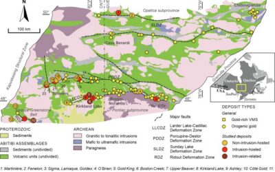
Mineral Exploration in the Abitibi Greenstone Belt: Geology, Deposit Types, and What to Expect in the Field
Image Source: https://www.sciencedirect.com/science/article/abs/pii/S016913682100247X The Abitibi Greenstone Belt produced more gold than almost any other Archean terrane on Earth, and the ground is still generating discovery-stage programs across northern Ontario and...
Beyond the Borehole: How 3D Geotechnical Modeling is De-Risking Modern Mine Design
The difference between a viable project and a costly oversight lies in the "digital twin" of the subsurface. Traditional 2D cross-sections, once the industry standard, are no longer sufficient for the complexities of modern resource extraction and the stringent safety...

Starting a Geology Career in Mining and Mineral Exploration
Graduating with a geology degree opens doors, but it can be hard to know which ones to walk through first. Many new graduates want work that's hands-on, technically meaningful, and connected to real projects, but translating that into an actual job search takes some...
Soil Sampling vs. Magnetic vs. Gravity Surveys in Canada’s Covered Terrain
Canada is home to some of the world’s most promising mineral districts, but many of those opportunities lie beneath cover rather than in clean, exposed outcrops. Across much of the country, exploration teams work in terrain shaped by glaciation, transported...

2026 Regulatory Shifts in Geophysics & Geotechnical Reporting in Canada
For Canadian junior and major exploration firms, the "Qualified Person" (QP) is under more scrutiny than ever. As we move into 2026, the integration of geophysical data into NI 43-101 technical reports has evolved from "supplemental" to "essential." In an era of...
How Geophysical Surveys Support Mineral Exploration in Canada’s Remote and Covered Terrains
Canada is one of the most mineral-rich countries in the world, but much of that potential lies in places that are difficult, expensive, or logistically complex to explore. From vast stretches of the Precambrian Shield to sediment-covered basins and northern regions...

Gravity Surveys in Mineral Exploration: How They Work, What They Reveal, and Why They Matter
In mineral exploration, every decision hinges on understanding what lies beneath the surface before drilling begins. Gravity surveys provide a precise, cost-effective way to map subsurface density variations and uncover geological structures that may host valuable...

Why Magnetic and Gravity Surveys Are Essential for Mineral Exploration in Canada
Canada is one of the most geophysically explored countries in the world. With vast mineral potential spread across the Precambrian Shield, structurally complex greenstone belts, sedimentary basins, and remote northern terrains, Canadian exploration has long relied on...