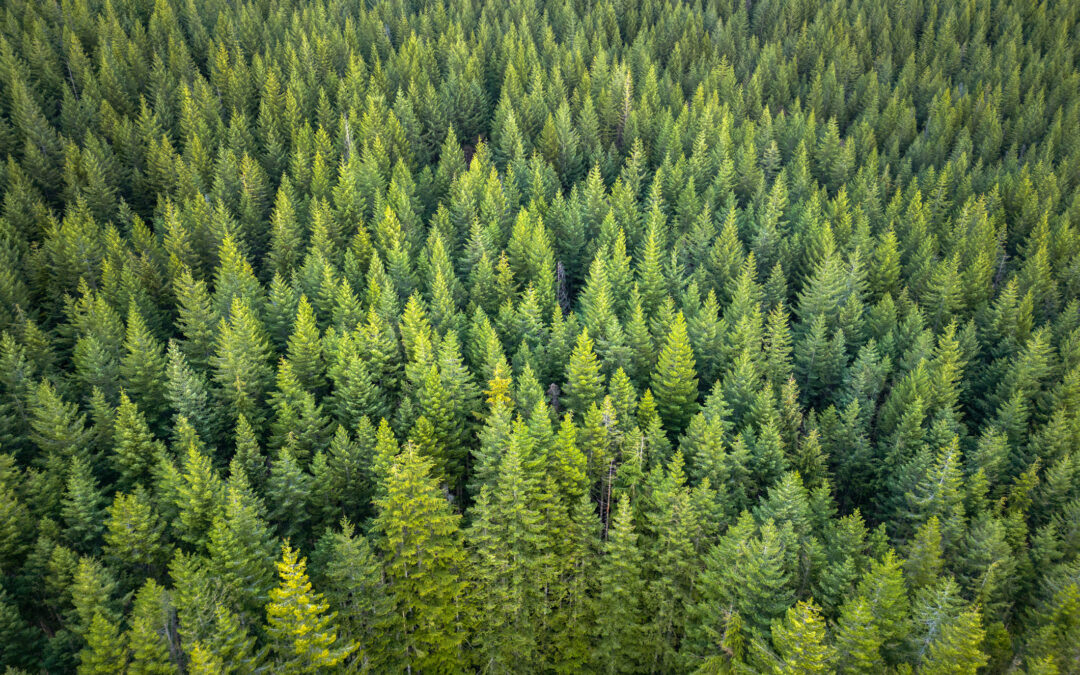
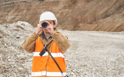
Canada is home to some of the world’s most promising mineral districts, but many of those opportunities lie beneath cover rather than in clean, exposed outcrops.
Across much of the country, exploration teams work in terrain shaped by glaciation, transported overburden, vegetation, and other surface conditions that make bedrock harder to interpret directly. In these settings, choosing the right geophysical survey method early can make a major difference in how efficiently a program moves from broad targeting to drill-ready confidence.
That is why the decision is rarely about which method is best; the more useful question is: what uncertainty needs to be reduced first?
Soil sampling, magnetic surveys, and gravity surveys each answer different kinds of questions. A strong program is usually built by matching the method to the problem rather than defaulting to the same workflow on every property.
What Covered Terrain Means in Canadian Exploration
In mineral exploration, covered terrain refers to areas where the bedrock is concealed beneath materials such as glacial sediments, overburden, basin fill, or other surface deposits. In Canada, glacial history is a major factor, and this shapes how geophysical data is collected, interpreted, and prioritized.
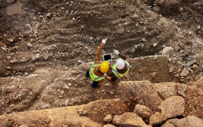
When bedrock is hidden, surface mapping alone may not be enough to define a target with confidence. Drillholes become harder to justify if the subsurface picture is still too broad or too uncertain. That is where early-stage geophysical survey systems like soil sampling, magnetic surveys, and gravity surveys become especially important. Each can help narrow the search area, but each does so in a different way.
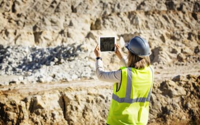
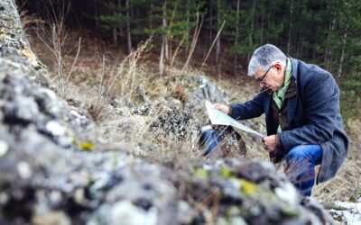
When Soil Sampling is the Right First Step
Soil sampling is often the best first move when the main question is whether there is a meaningful geochemical signal worth following. Soil and rock chip sampling are cost-effective, non-invasive methods that help determine whether an area merits further exploration and help establish the presence and extent of mineralization.
This makes soil sampling especially useful for broad target screening, anomaly definition, and refining where follow-up work should occur. In covered terrain, it can provide valuable geochemical evidence in places where direct bedrock observation is limited or absent. When planned carefully, it can help move a project from a large, uncertain search area toward a smaller set of more defensible target zones.
However, soil sampling should not be treated as a shortcut. In glaciated terrain, surface materials may not sit directly above the source that produced the geochemical response. Transported cover can complicate interpretation, which is why soil programs are strongest when they are designed with geological context in mind rather than run as a generic box-checking exercise.
When Magnetic Surveys Make More Sense
Magnetic (Mag) surveys are often the smarter starting point when the biggest uncertainty is geological framework rather than geochemical response. Magnetic data can be used to identify faults, different rock types, and other geologic features, including signatures associated with potential mineral deposits. In practice, that makes magnetics especially valuable when an exploration team needs to understand structure, lithology, intrusive patterns, or regional trends beneath cover.
This is one of the clearest distinctions between soil sampling and magnetics in Canada’s covered terrain. Soil sampling is generally strongest when a program needs evidence of geochemical anomaly. Magnetics is generally strongest when a program needs to understand the concealed geological architecture that may control mineralization. One does not replace the other. They answer different questions, and confusing those questions can lead to spending money on the wrong first dataset.
In large or structurally complex Canadian territories, magnetic surveys can also help define where later sampling should be focused. If the goal is to trace major trends, locate structural breaks, or better understand the geometry of the property before committing to a dense sampling grid, magnetics can provide a stronger framework for the next phase of work.
When Gravity Surveys Become the Better Choice
Gravity surveys become the better option when density contrast and concealed geometry are central to the exploration problem.
Gravity surveys are a method for detecting subsurface density variations and mapping geological structures, and are valued for uncovering concealed features and refining drill targeting before costly drilling begins.
That makes gravity especially useful when the questions are less about surface anomaly and more about subsurface shape and contrast. How deep is the target? Is there buried structure beneath thicker cover? Are there rock units with similar magnetic behavior but different densities? In those situations, gravity may reveal important information that other methods cannot resolve as clearly on their own.
Gravity is also valuable because it helps reduce ambiguity. A project may already have magnetic data that suggests structure or lithologic variation, but gravity can add another physical-property layer that sharpens the interpretation. In covered terrain, that added clarity can materially improve how drill targets are ranked and how risk is managed.
Choose the Method that Answers the Right Question
A helpful way to think about this is simple:
“The wrong first method is usually the one that answers the wrong question well.”
A technically sound soil program can still disappoint if the real problem is structural uncertainty. A magnetic survey can produce strong-looking anomalies and still leave the program stalled if geochemical confirmation is what is needed next. A gravity survey can improve the subsurface model and still fall short if the team has not yet established whether there is a meaningful geochemical vector to follow.
That is why method selection should be driven by uncertainty, not by habit. The question is not which tool sounds most sophisticated. The question is which tool will reduce the most important unknown on this property, at this stage, with this level of budget and access.
In Covered Terrain, Sequencing Matters More than Method Loyalty
In real exploration programs, the best answer is often not soil sampling versus magnetics versus gravity. More often, it is about sequencing.
A Canadian geophysical survey team may begin with magnetic surveys to establish structural framework across a large area. Gravity may then be used to refine concealed geometry or distinguish between competing geological models. Soil sampling may follow to test whether the most compelling structural corridors also carry meaningful geochemical response.
On another project, the sequence may be reversed, with sampling identifying anomalies first and geophysics used afterward to refine interpretation and ranking.
Programs are strengthened less by loyalty to a single method and more by using each method at the point at which it adds the most decision value.
So Which Should be Used First?
- If the goal is to determine whether a property carries a meaningful near-surface geochemical signal, soil sampling may be the best opening move.
- If the goal is to understand faults, lithology, regional trends, or structural controls beneath cover, magnetic surveys may deserve priority.
- If the goal is to clarify concealed geometry, density contrasts, or deeper subsurface architecture, gravity surveys may be the smarter first investment.
The right answer depends on the geology, the exploration stage, the quality of existing data, and the cost of being wrong. In covered terrain, better targeting rarely comes from collecting more data for the sake of it; it comes from collecting the right data in the right order.
Final Thoughts
Canada’s covered terrain requires more than a standard exploration checklist. When bedrock is hidden, method selection becomes a strategic decision that affects budgets, timelines, and target confidence long before drilling begins. Soil sampling, magnetic surveys, and gravity surveys all create value, but they do so in different ways and for different reasons.
The strongest takeaway is this: the best exploration method is usually the one that reduces the biggest uncertainty first. In some programs, that means starting with soil sampling. In others, it means starting with magnetics or gravity. In the strongest programs, it often means using multiple geophysical surveys in a sequence that turns broad possibility into a more focused, defensible target.
Ask a Question
Rangefront has offices in the United States and Canada and provides services across North America, including soil sampling and comprehensive geophysical services. For projects working through covered terrain, choosing the right method sequence early can help improve targeting, reduce wasted effort, and support better decisions before drilling begins. If you have a question or would like pricing for your specific project, please reach out.

ABOUT THE AUTHOR
BRIAN GOSS
President, Rangefront Mining Services
Brian Goss brings over 20 years of experience in gold and mineral exploration. He is the founder and President of Rangefront, a premier geological services and mining consulting company that caters to a large spectrum of clients in the mining and minerals exploration industries. Brian is also a director of Lithium Corp. (OTCQB: LTUM), an exploration stage company specializing in energy storage minerals and from 2014 to 2017, he fulfilled the role of President and Director of Graphite Corp. (OTCQB: GRPH), an exploration stage that specialized in the development of graphite properties. Prior to founding Rangefront, Brian worked as a staff geologist for Centerra Gold on the REN project, as well as various exploration and development projects in the Western United States and Michigan. Brian Goss holds a Bachelor of Science Degree with a major in Geology from Wayne State University in Michigan.
You may also be interested in...
What Types of Geology Jobs are Available in the Mining Industry?
For individuals with a geology degree, finding a job in the mining industry can be a great way to directly use geology expertise while being out in the field. While some geologists enjoy lab work or teaching, many geologists prefer to be outdoors, exploring and taking...

Mining Career Guide 2024
ARE MINING JOBS IN DEMAND? Mining jobs are in demand, as the need for minerals continues rising while skilled workers to fill these openings are difficult to find. Metal ore mining jobs are expected to grow by 16.3% over the next 10 years, which is higher than the...
Why Canada Has So Many Mining Companies
Canada is renowned for its stunning natural landscapes, friendly people, and a rich cultural tapestry. However, it's also a global leader in an industry that's not always in the spotlight but plays a significant role in the nation's economy: mining. WHAT MAKES CANADA...
Geophysical Surveys: Purposes & Cost
A geophysical survey is a non-invasive method of studying the subsurface properties of the Earth by measuring various physical properties, such as magnetic, seismic, and gravitational properties. These surveys are commonly conducted to gain insights into the...

Geophysical Surveys: Types of Surveys & Use Cases
Geophysical services refer to a branch of geological consulting that provides surveys and reporting to gather, interpret, and map geophysical data. These services are typically used for measuring, analyzing, and optimizing resources for mining or geology, and can also...

Mining & Mineral Exploration: Differences & Common Misconceptions
Mining and mineral exploration are a high-risk, high-reward process, requiring a high level of expertise, research, and—sometimes—a little luck. While many mineral exploration efforts never result in actual mining production operations, those that do can be highly...
Rangefront Mining Services Expands Local Field Crew Team to Washington State
Rangefront welcomes Daniel Reiss to the Rangefront team to head our new Washington state-based field crew, an expansion that will reduce already affordable costs for field crew services in the Northwest territories. July 2023 Elko, NV---Rangefront welcomes Daniel...

Geologists in the Mining Industry: Common Jobs & Career Outlook
Geology and the mining industry are naturally associated because of the expertise required to find and analyze potential deposits in bedrock. Because of that, many seeking a degree in geology will have their sights set on career opportunities in the mining industry,...

Common Challenges Mining Consultants Help Resolve
Utilizing a mining consultant during the mining and exploration process is an integral part of most operations’ strategies. As well as maximizing value and operational performance, a mining consultant can help shape strategy, drive innovation, and mitigate risks from...
5 Examples of Mineral Exploration
Mineral exploration is one of the first steps that takes place in a prospector’s journey from mineral discovery to active mining. This can be a long and resource-intensive process, but the payoffs can be significant. In mineral exploration, the goal is to investigate...
What Do Mining Consultants Do?
A successful mining project takes careful planning, expertise, and execution. With increasing focus on environmental regulations, corporate responsibility, political pressure, and more, engaging a mining consultant has become a practical solution to navigating the...

What to Look for in a Mining Recruiting Company
As the weather starts to warm, mining companies are beginning to recruit to fill seasonal contract needs. While some mining companies may use direct recruitment efforts, it’s more common for mining and exploration companies to use a recruiting service. WHAT TO LOOK...